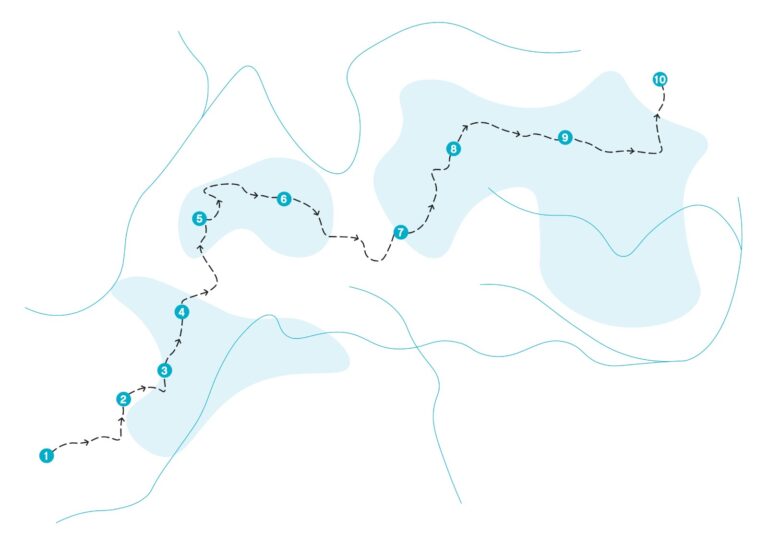
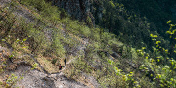
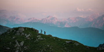
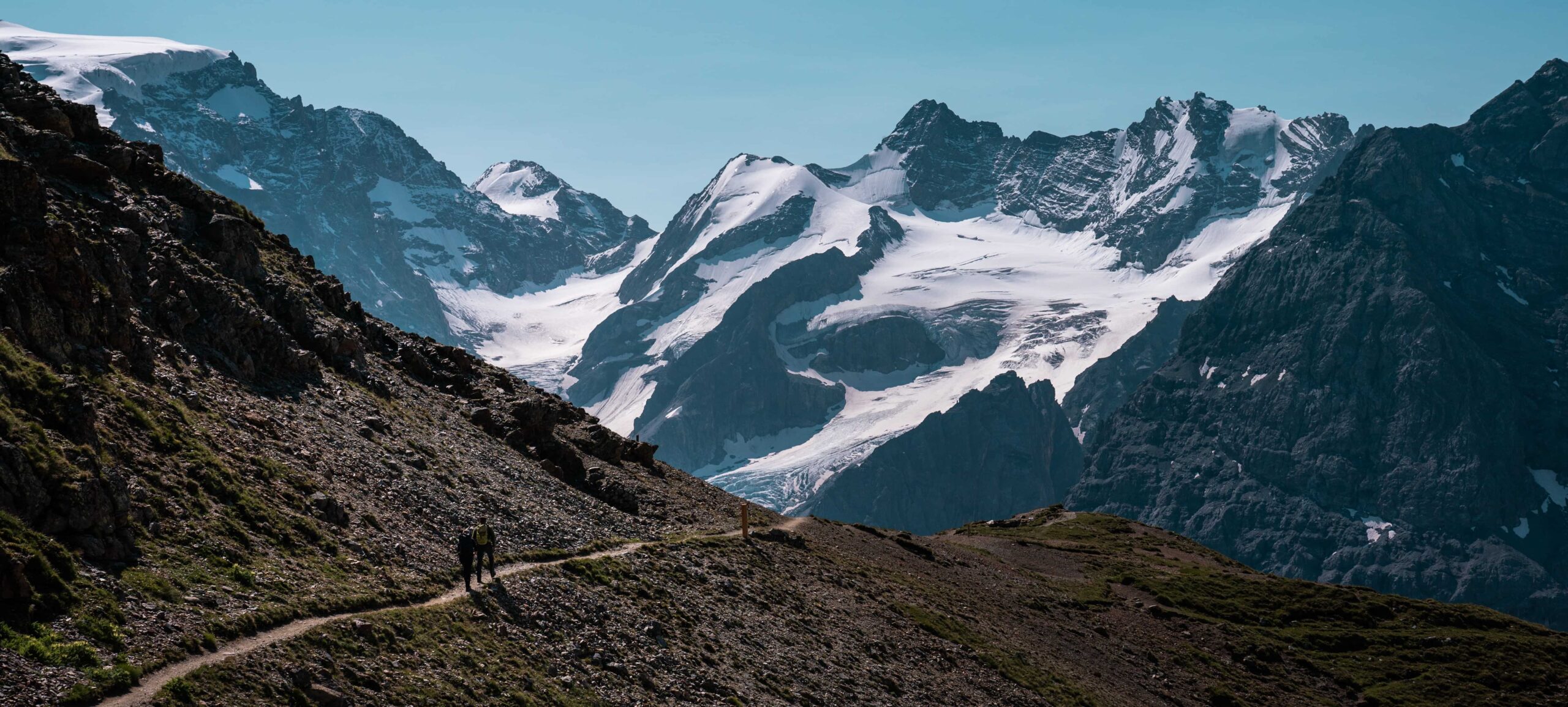
Through the territory of the Stelvio National Park, Alta Via dell’Ortles unravels and climbs among ice and rocks, and with its 120km, its peaks of more than 3000 meters high and a total difference in height of 8126m is defined as one of the most difficult trails in the Alps. Due to its features, this Alta Via is a route for expert hikers!
It can be covered in seven daily stages and it will allow you to admire everything the Park has to offer: from the beauty of the Stelvio ice to the magnificence of the Ortles and the splendid local fauna.
However, if you are not interested in covering the entire trail, the tour and all its seven stages can also be explored individually in day trips out of town.
Alta Via dell’Ortles starts from a symbolic point of the National Park: the Stelvio Pass.
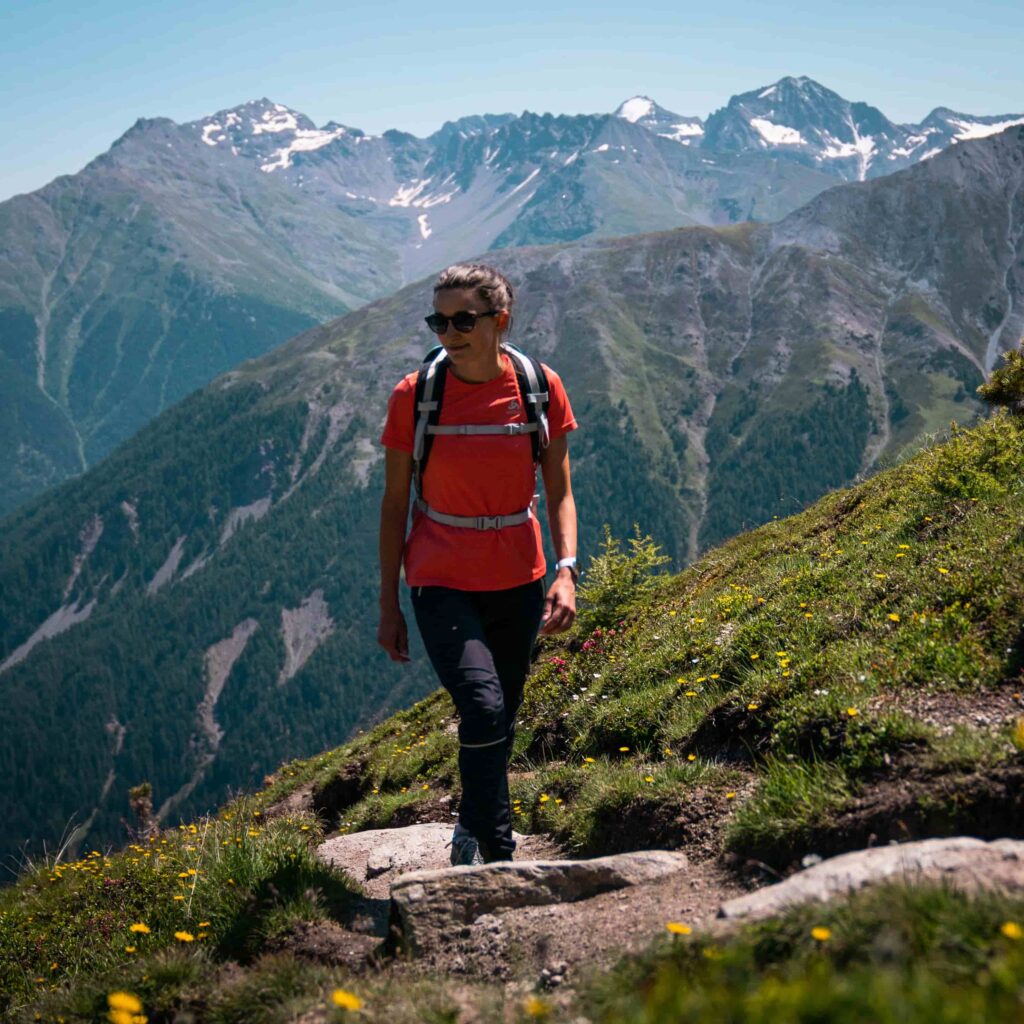
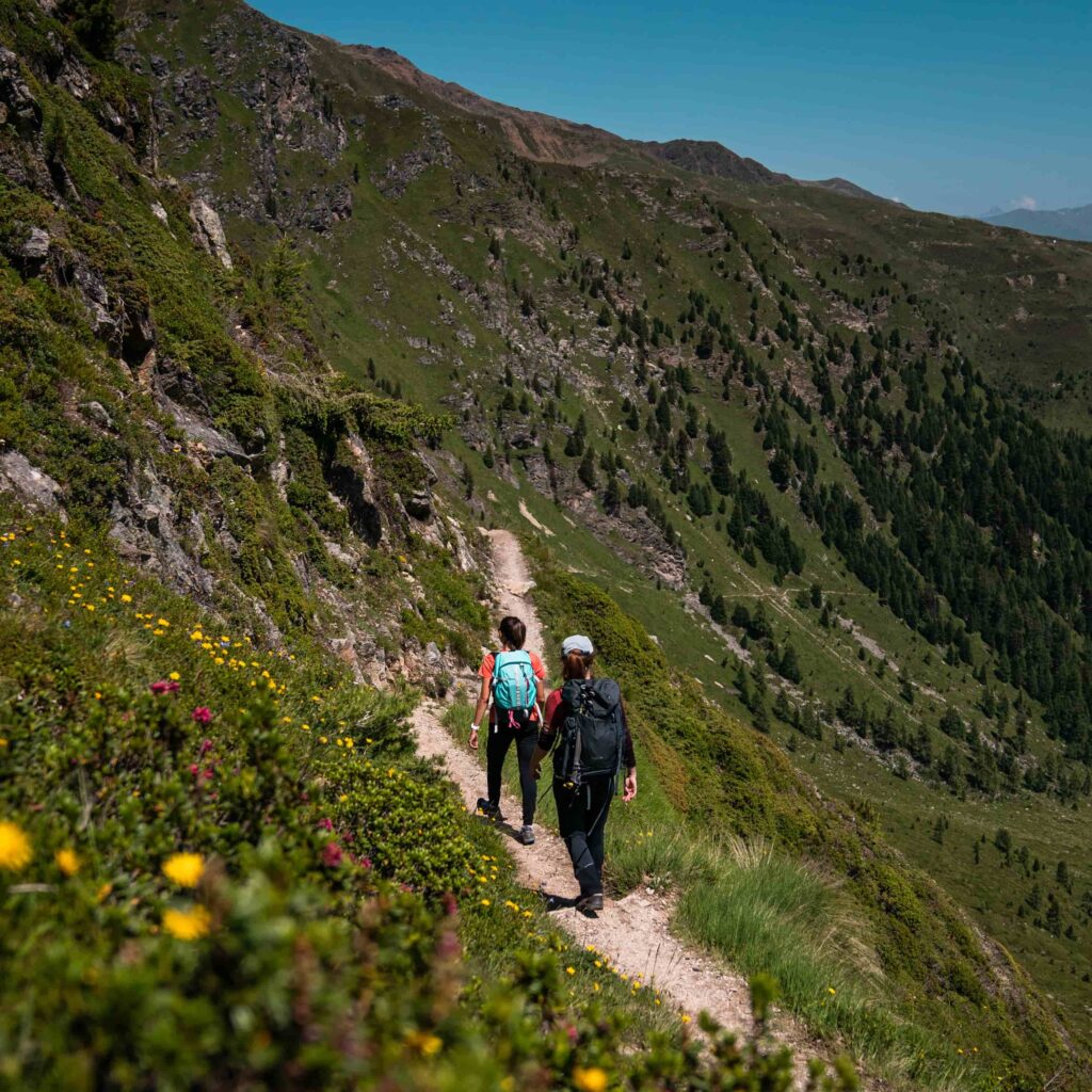
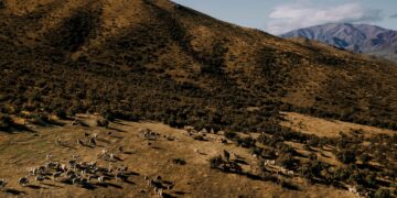
- His first stage of 18,5km and 1800m difference in height downhill, passing from the Forcola refuge and along the Sentiero delle Malghe, leads to Stelvio, a small town located not too far from Val Venosta. Along these trails you can admire not only the entire chain of the Stelvio glacier and Ortles, but also many flower meadows and countless animals such as chamois and even some bearded vultures.
- From Stelvio to the Serristori Refuge: with a difference in height of 1796m and a length of 17km, the trail lasts about 9 hours and passes through the Weiderbödele through the Hochstücklwald forest. You won’t miss breathtaking views and efforts.
- The third day starts right from the Serristori Refuge and continues towards the Nino Corsi Refuge: with a difference in height of 913m and a length of 14km, it is an 8 hours trail that passes through the Pulpito chairlift mountain station and Passo del Beltovo. In this stretch you begin little by little to approach the high altitudes again in order to admire ice and mountains up to the border with Austria.
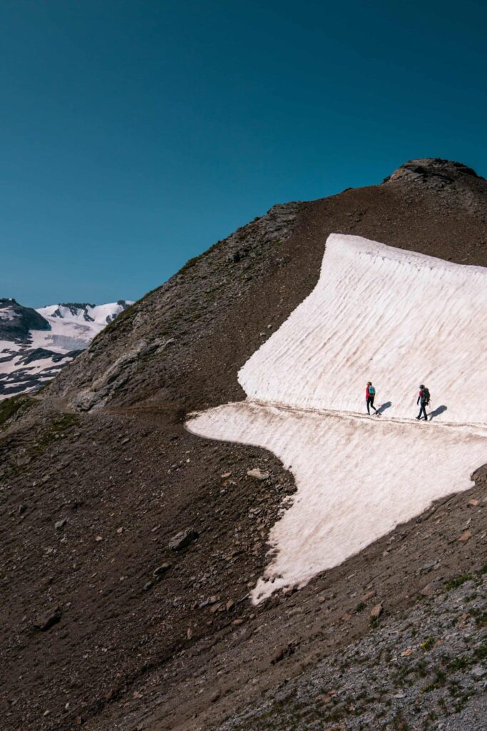
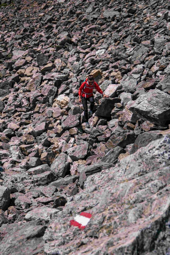
- On the fourth day the effort will begin to be felt more, but anyway there will be no lack of altitude: from Nino Corsi Refuge to Pizzini Refuge. With a difference in height of 1000m and a length of 12km, the trail lasts about 6 hours. Various passages on ice will be present on the Gelato Lake pass and it is important to have ice and glacier equipment with you. Especially if you are not an expert, we recommend a Mountain Guide!
- The fifth day starts from Rifugio Pizzini and arrives in Sant’Antonio: with a difference in height of 900m and a length of 20km, the trail takes about 8 hours. You go down the path from Alta Val Zebrù to Valle Rin Maré. Then continue to the National Park Visitor Center.
- From Sant’Antonio to the Cancano Lake: with a difference in height of 1400m and a length of 16km, the trail is about 8 hours long. Climb up to 1500 meters and then descend to Parco dei Bagni up to Ponte di Premadio, from here you go up to Valle di Fraele. You go back down and little by little you can see meadows and forests in the distance.
- From the Cancano Lake to the Stelvio Pass: with a difference in height of 1800m and a length of 22km, the trail takes about 8 hours. Continue to the Fornelle bridge and go up the military mule trail to Malga di Pedenolo until you reach the pass.
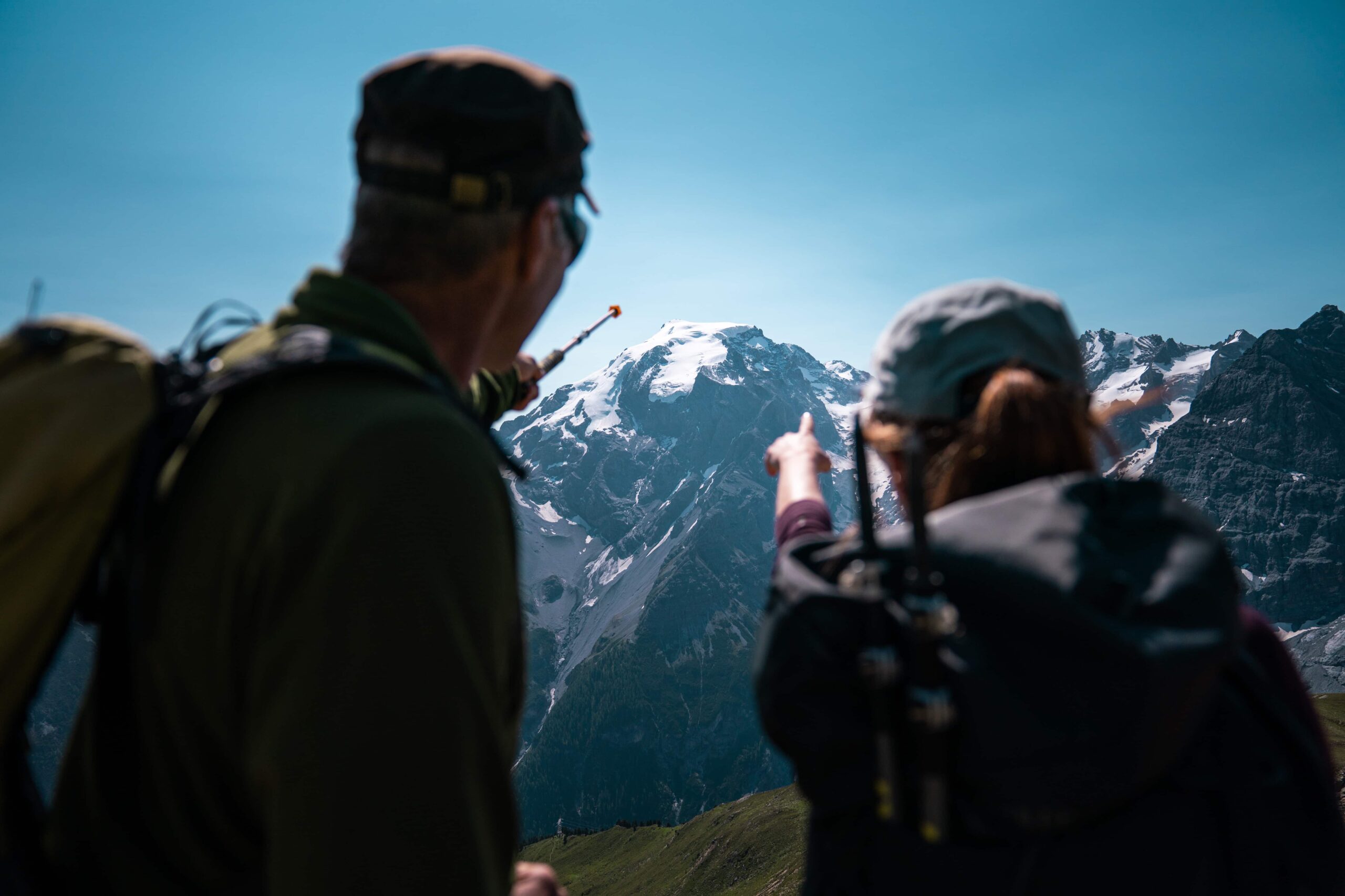
At the foot of the Ortles, between ice and rock, this trail crosses some of the most beautiful landscapes in Northern Italy. From the 650 meters of the valley to the almost 4000 meters of the glaciers, from the wetlands to the limestone soils, you can walk among deer, roe deer, chamois, ibex, marmots, squirrels, badgers and who knows what else. Go conquering the highest mountains in South Tyrol!
