by The Pill Magazine
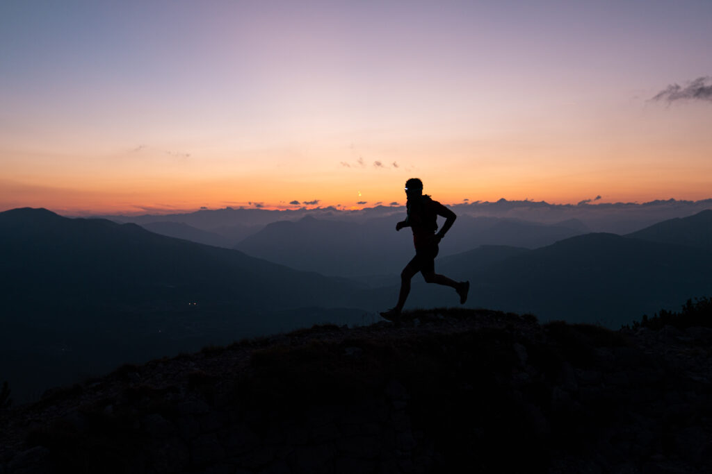
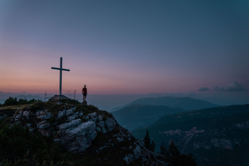
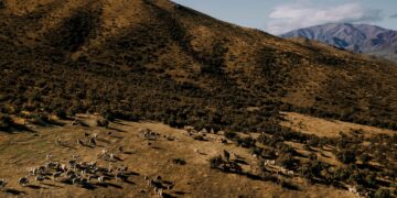
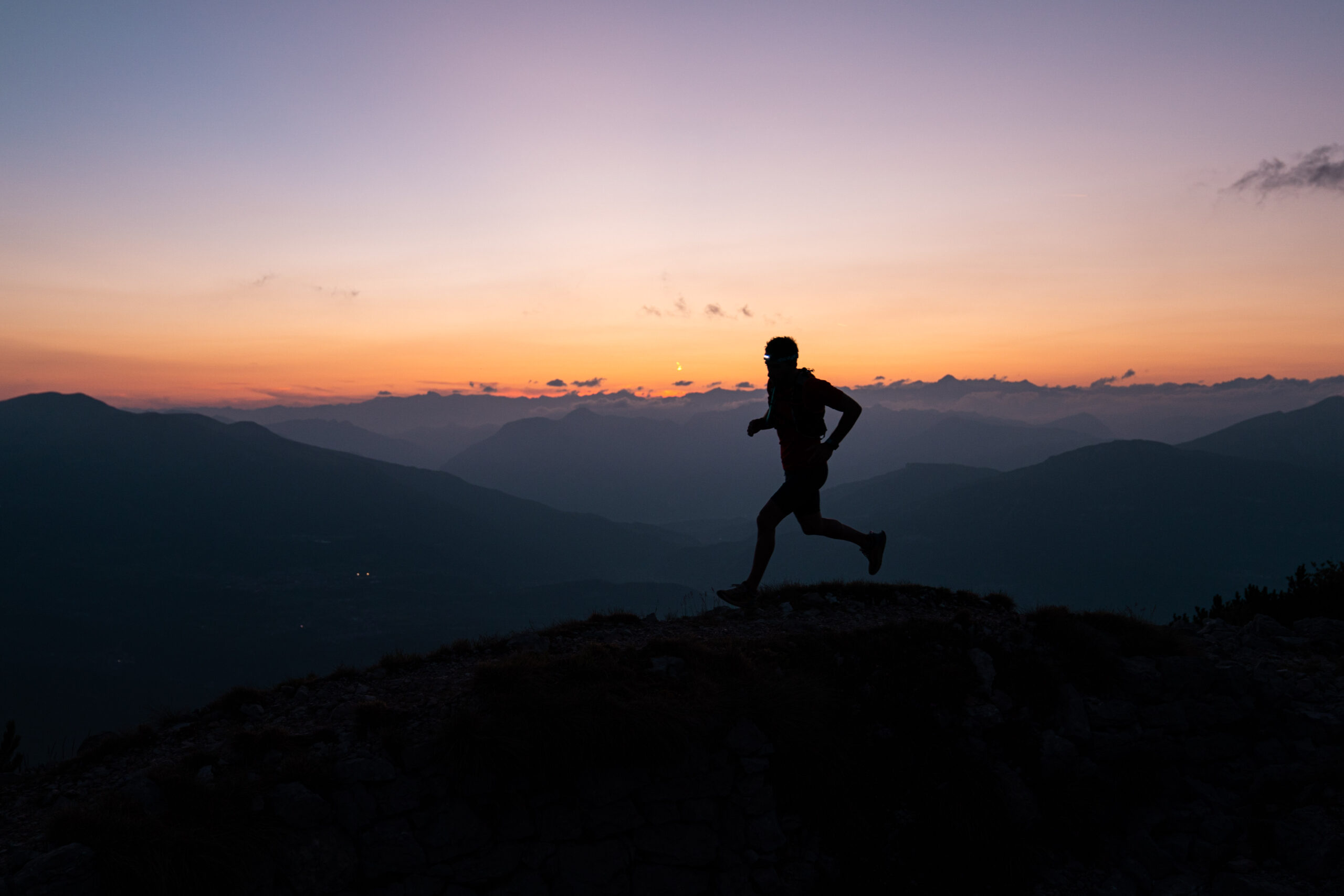
Much more than a mountain, Monte Zugna tells the story of the First World War with several war works still scattered along the paths. On its slopes there are fossil dinosaur footprints belonging to the Jurassic and not far from the hut there is the astronomical observatory. Mount Zugna is in short a special place where you can do trekking and trail running, but surrounded by memories of the past and the stars in the sky.
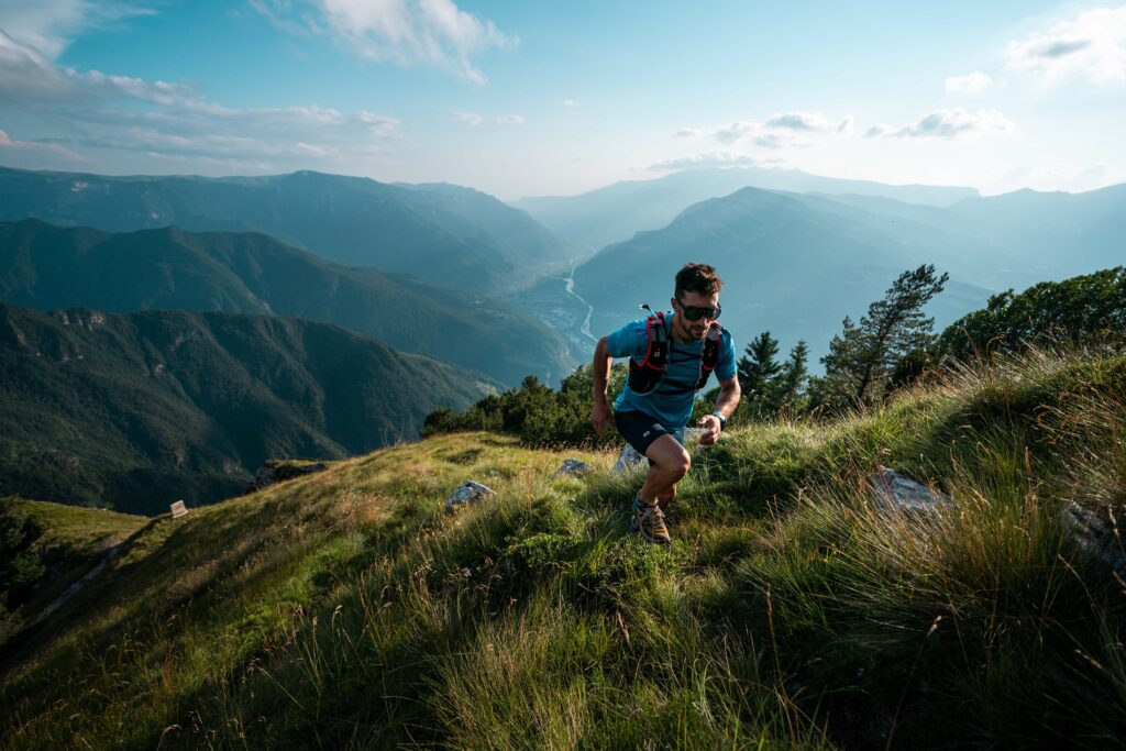
With a height of 1.865 m.s.l. and thanks to its botanical and faunistic aspects, Mount Zugna offers several possibilities both for trekking and trail running in the middle of nature, to discover the south of Trentino.
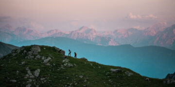
We’ve compiled a short list of trails that might be right for you should you consider a vacation near Trento, or even if you’re just passing through. For us, it deserves a stop. From the easiest to the most difficult, we believe that Monte Zugna offers trails for everyone.
The best known path is the one that starts from “Rifugio Monte Zugna”, reachable from Rovereto going towards Vallarsa-Vicenza, passing Albaredo and continuing towards the sign for the hut. You walk on a mule track, where once the mule caravans passed, and you reach a branch where you can see some ruins dating back to the First World War, such as a military hospital. Here you go up a path towards Monte Zugna on a gentle track until you reach the panoramic peak with a 40-minute walk from the hut. From here you can see all of Vallarsa up to the border with Veneto and also a large part of Vallagarina. The view is spectacular. We recommend this route for those who are new to trail running and would like to start training, but without overdoing it or risking injury.
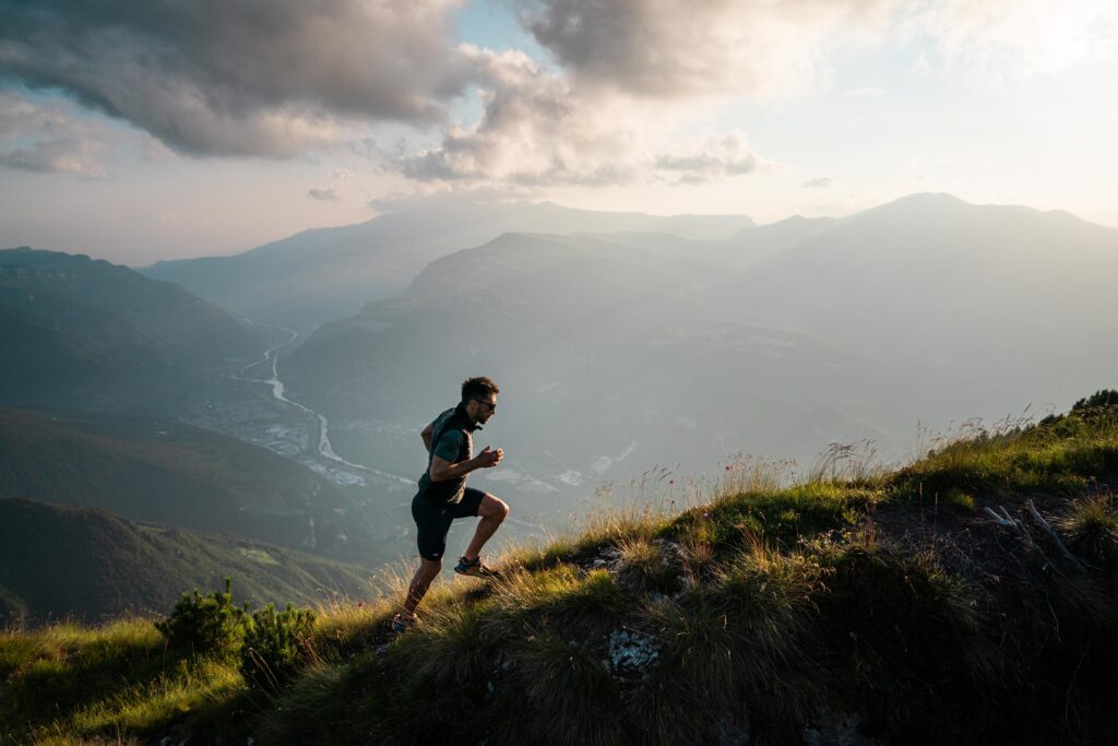
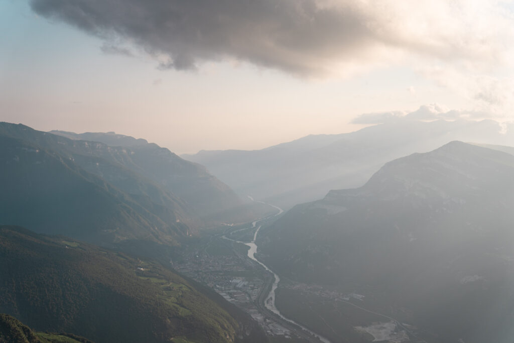
For another path between history and nature, we suggest the excursion from Monte Zugna to Passo Buole, with a difference in altitude of 490 m and a length of about 5.7 km in each direction. It passes by the astronomical observatory, a small chapel and the Austrian defense line, dating back to the First World War. The starting point is the Monte Zugna hut and you continue along the forest road to the Parco della Pace. Then you go down on the path to the Passo della Portela that reaches the walls of the Coni Zugna. After two hours of walking we arrive at Passo Buole, our destination. With a continuous up and down this route is optimal for those who have been running for a few weeks and would like to try to do the first 10km with a good elevation gain and some technical points.
With its 8km and 970m of elevation gain, the path from Matassone to Monte Zugna is a route of medium difficulty. Breathtaking views await you at the top, and the entire trail is littered with Austrian and Italian trenches. The trail is 5.30h but you will never get bored! From the Piazzetta di Matassone, climb a rather steep path that leads to the Rifugio Monte Zugna. Continue on the Sentiero della Pace, passing by the astronomical observatory, until you reach a small church in memory of the fallen during the war. Here you turn towards the Parco della Pace (Peace Park) and continue between the white glow of the white fortress and that of the trenches. This path is great for vertical enthusiasts who want to train on steep climbs, but without exaggerating, thanks to the flatter points that occur in various sections of the mountain.
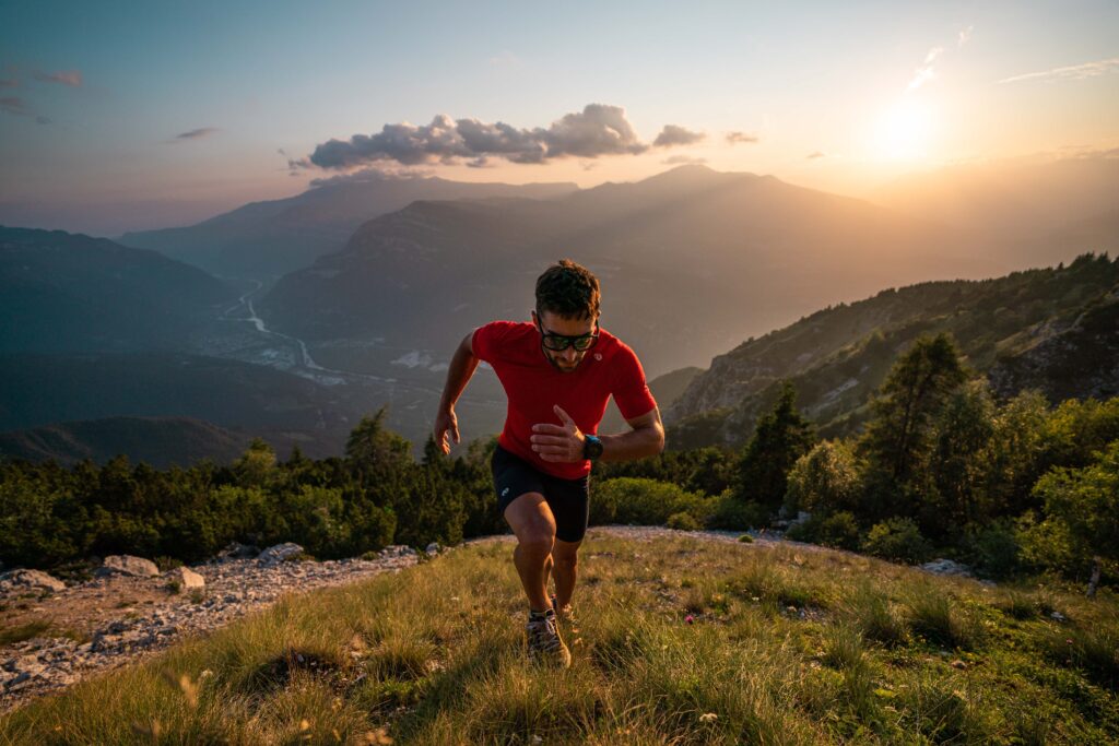
The last path that we propose is for those who love long distances and maybe are considering preparing a race. It is a ring route that starts in Ala and arrives on Monte Zugna. It is 34.9 km long and has a difference in altitude of 1,539 m. From Ala you go in the direction of Passo Buole with medium difficulty. From the start, there is a 14 km long, demanding climb to the house of the Alpini of Ala, the Rifugio Sartori. From here you take the dirt road that you will find on the right and, after the initial effort, it is all, in part, downhill. This is a longer route than the others, but it allows a complete tour of the mountain and above all to train for a longer and more complex distance.
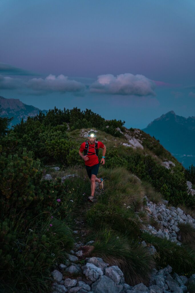
Between history and nature, it’s time to explore Monte Zugna!
